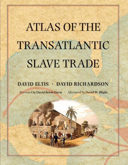
Atlas of the Transatlantic Slave Trade
By David Eltis and David Richardson, with a foreword by David Brion Davis and afterword by David W. Blight. ISBN 978-0-3-00-21254-9 Copyright 2015. Softcover with 336 pages including 189 color maps, 61 color graphs, 5 black and white, and 36 color illustrations, timeline, and glossary.
Winner of the 2010 R.R. Hawkins Award and Winner of the PROSE Award for Excellence in Reference Works, both given by the Association of American Publishers. Honorable Mention for the 2011 Dartmouth Medal for Outstanding Reference.
From 1501 to 1867, the transatlantic slave trade claimed an estimated 12.5 million Africans and involved almost every country with an Atlantic coastline. This atlas is based on the online database www.slavevoyages.org. These original maps show which nations participated in the slave trade, where ships were outfitted, where captives boarded and where they were landed in the Americas. Illustrations and contemporary literary selections such as poems, letters, and diary entries all describe the human story of the slave trade.


